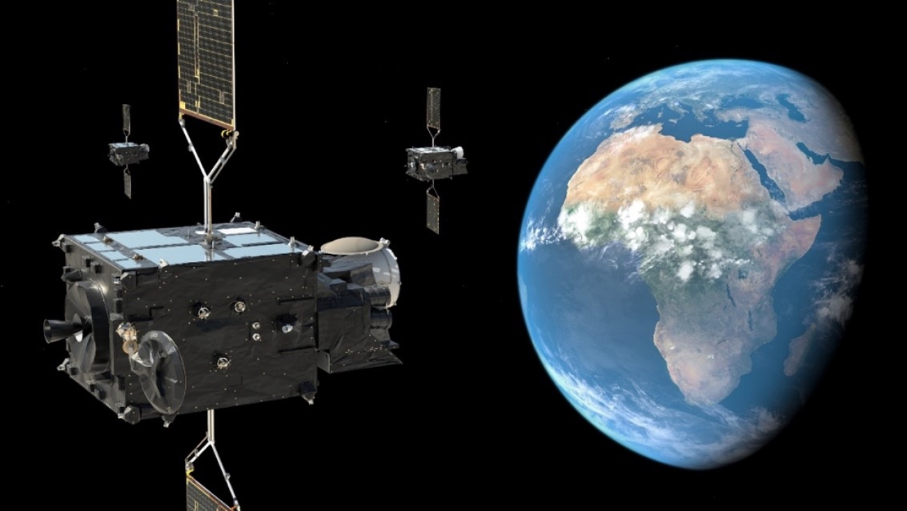
Since man took his first steps on Earth, he has been trying to understand and predict weather changes and benefit from that knowledge in his economic activity. However, despite the tremendous developments in the science of weather forecasting, the decisive step was the use of satellites in this field, specifically in the Meteosat program. The Meteosat project is a series of meteorological satellites operated by the European Organization for the Exploitation of Meteorological Satellites EUMETSAT and the European Space Agency ESA. These satellites are designed to provide continuous meteorological observations from geostationary orbit above Europe and Africa. The name “Meteosat” is derived from “Meteorological Satellite. “Meteosat satellites” are positioned in geostationary orbit, meaning they stay fixed relative to a specific point on Earth’s surface. This allows them to provide continuous and high-frequency weather patterns and phenomena observations.
There are various types of meteorological data captured by Meteosat satellites, including visible and infrared images of clouds, temperature and humidity profiles, and information on atmospheric composition. These observations are crucial for weather forecasting, climate monitoring, and disaster management. While the primary focus of Meteosat is on Europe and Africa, the data from these satellites contribute to global meteorological efforts, including the World Meteorological Organization WMO and the World Climate Research Programme WCRP. The collaboration between EUMETSAT, ESA, and other national and international meteorological agencies on the Meteosat project is essential to ensure accurate and timely meteorological data for various applications, including weather forecasting, climate research, environmental monitoring, aviation, agriculture, and disaster management. They play a crucial role in improving understanding of the Earth’s atmosphere and weather patterns.
The CubeSat Lab at the Sharjah Academy for Astronomy, Space Sciences, and Technology plans to build the next satellite, “Sharjah-Sat-2”. This CubeSat should be 6 U, and it will be equipped with a water sensor. Three Sharjah governmental entities will cooperate with the Academy in this project because it will greatly contribute to the advancement of meteorology and significantly impact our ability to predict and respond to weather-related events, representing a vital part of the global civilization infrastructure.


